Address
25 Brown’s Dock Road
Locust section of Middletown
732-872-2670
Navigation
Tap the map for navigation help.
GPS:
40.385694,-74.035611
Notes
If you see errors on this page, or if you'd like to suggest improvements, please send e-mail to Jem Treadwell.
Meeting Point
We normally meet in the main parking lot.
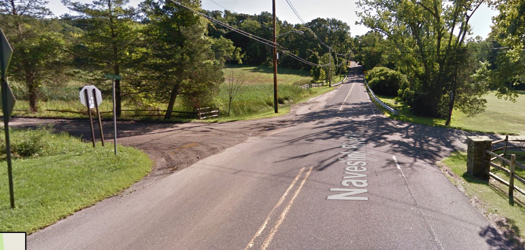
The south parking lot is the first right off Navesink Road at the bottom of the hill. We only use this for October hikes during the park’s Halloween program.
Directions
Route 33 west:
- Bypass Freehold and go north on Halls Mill/Kozloski Road to Rte 537.
- Turn right (east) on Rte 537, and continue past Colts Neck High School to the intersection with Rte 34 in Colts Neck. Turn left onto Rte 34 north.
- At the first light turn right onto Phalanx Road.
- Follow Phalanx Road for 3.75 miles to Rte 520 (Newman Springs Road) in Lincroft. Turn right onto Newman Springs Road.
- Follow Newman Springs Road for 2.5 miles, then turn left onto Shrewsbury Avenue.
- Follow Shrewsbury Avenue for one mile into Red Bank, then cross West Front Street and continue straight on to Rector Place.
- After 1,000ft turn left onto the Hwy 35 bridge, heading north.
- Cross the bridge and follow Hwy 35 north to Navesink River Road, then turn right.
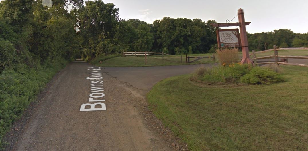
- Travel east on Navesink River Road for 2.8 miles, then turn left onto Browns Dock Road, a dirt road.
- The park entrance is at the top of the hill on the right.

